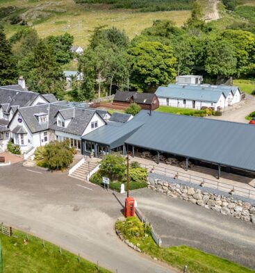
Mount Blair

Mount Blair, the Angus Glens

Mount Blair, Blairgowrie, UK

View on Map

Description:

A mountain located on the border of Angus and Perth & Kinross Council areas, Mount Blair lies to the east of Glen Shee and one mile (two km) south-west of Forter.  It rises to a height of 744m (2,440 feet) and the peak separates Glen Shee from Glen Isla to the east.

Although of small stature at 744m, Mount Blair commands great views, northwards to the higher hills of the Cairngorm National Park and southwards over the green lands of the lowlands.

Standing boldly between these two glens, the hill is heathery with some rough and crag grit covering the lower slopes. Mount Blair has a long history with prehistoric sites, with some famous wells and even a suicide grave to be found under the summit cairn.

Enjoy the wonderful 360 degree views from the summit, where you’ll find a toposcope to help you identify major landmarks and surrounding hills.

Note: location of the pin on Google Maps is a guide only.

Dog Friendly

Dogs are welcome at this outdoor location. Please remember to follow the Scottish Outdoor Access Code when out with your dog.

Location

Mount Blair, Blairgowrie, UK

See What's Nearby

Take a look at things to see and do, places to eat and places to stay around the Angus Glens.

No events found matching the search criteria.

Download the App Now!

What's inside the app:

  • Augmented Reality
  • Panoramic Views
  • Interactive Games
  • Past Vs Present Images